scan2map

3D visualisation is not available in this browser. The text below remains readable.

Let's rebuild the world

Laser scanning
Aerial and terrestrial photogrammetry
3D digitisation
Technical office
  1. 3D models
  2. Plans
  3. Analyses
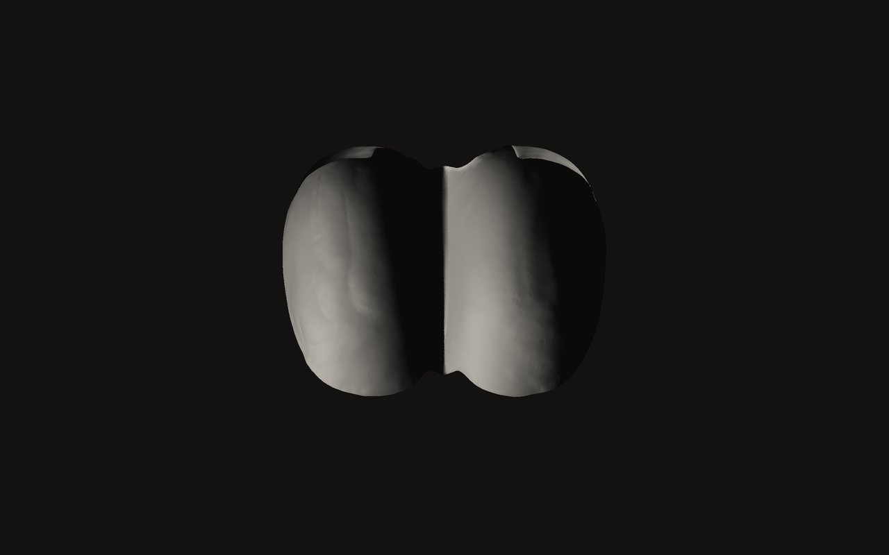
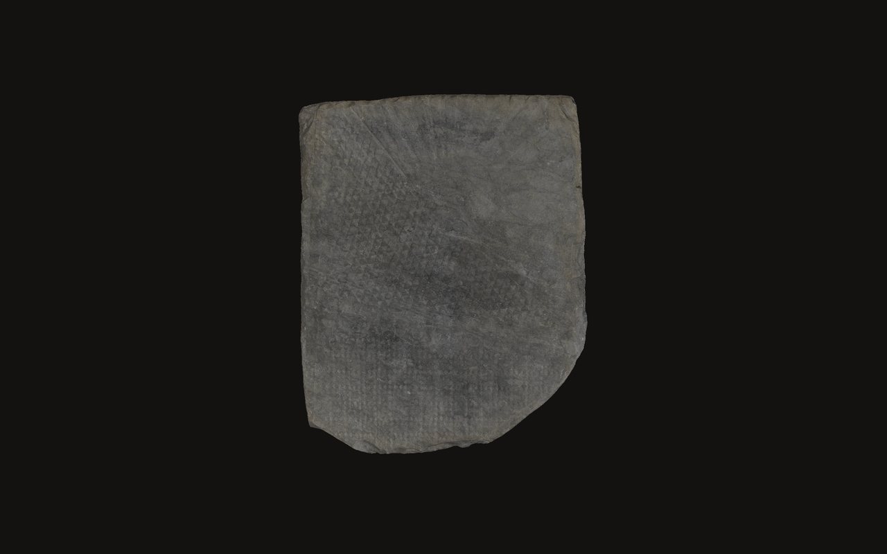
Stele 1

Stele 1

  1. High-⁠resolution scanning
  2. Textured 3D model
  3. Study
  4. Outreach
  5. Conservation
Field
Archaeology
Outreach
Location
Petit-⁠Chasseur, Sion (VS)
Explore the model
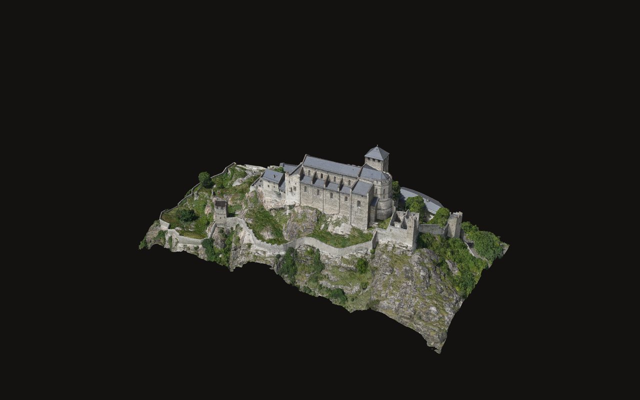
Valère, basilica and village

Valère, basilica and village

  1. Terrestrial scanning and aerial photogrammetry (helicopter)
  2. Architecture
  3. Heritage
  4. Outreach
  5. Conservation
Field
Architecture
Heritage
Location
Sion (VS)
Explore the model
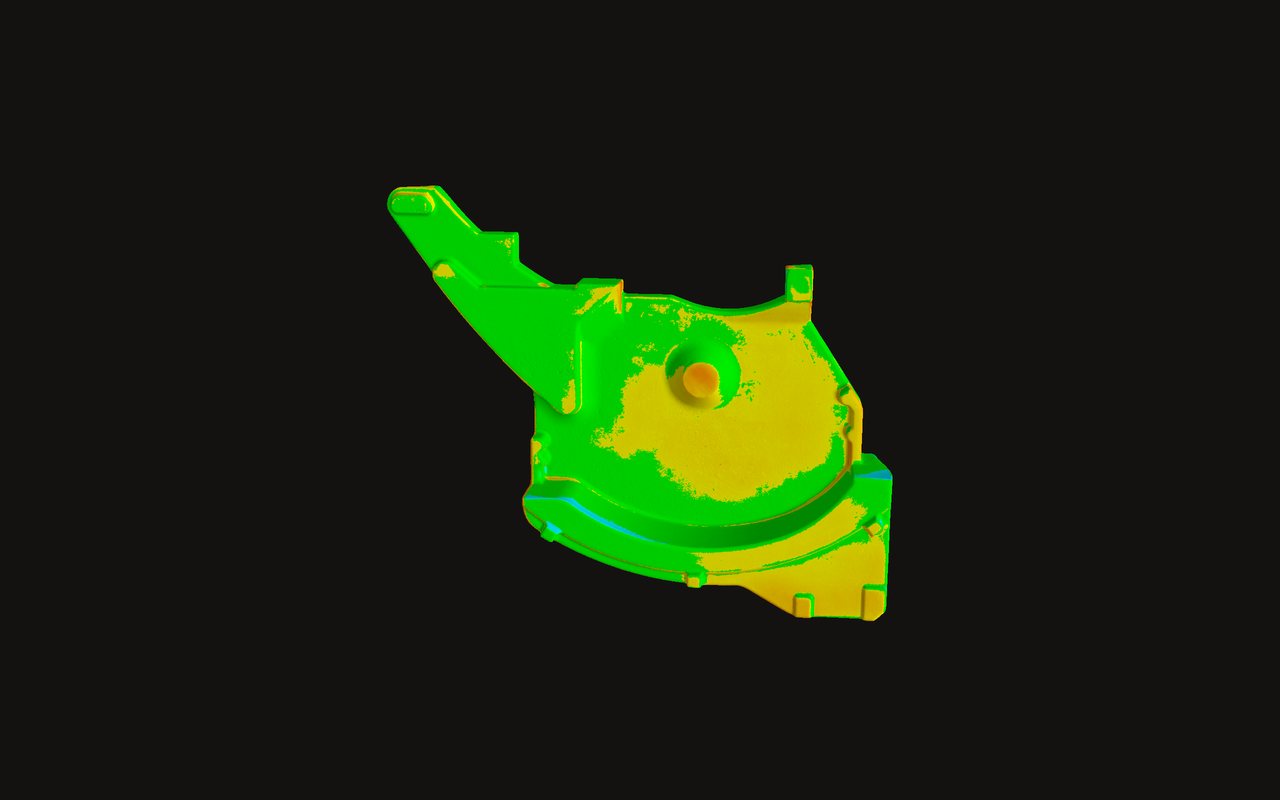
Raw casting

Raw casting

  1. Scan 0.02 mm
  2. Comparative analyses
  3. Report
Field
Metrology
Reverse engineering
Explore the model
Pelton turbine bucket

Pelton turbine bucket

  1. Scan 0.02 mm
  2. Wear analysis
  3. Comparative analyses
  4. Final report
Field
Metrology
Reverse engineering
Explore the model
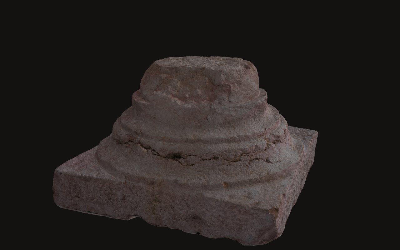
Roman capital

Roman capital

  1. On-⁠site digitisation
  2. Outreach
  3. Virtual museum
  4. Conservation
Field
Archaeology
Outreach
Location
Vandœuvres (GE)
Explore the model
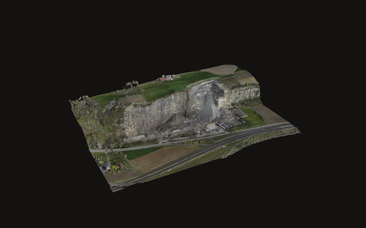
Quarries – Gravel pits

Quarries
Gravel pits

  1. Orthomosaics
  2. Topography
  3. GIS
  4. Volumetry
  5. Change over time
Field
Quarries
Gravel pits
Location
Bex (VD)
Explore the model
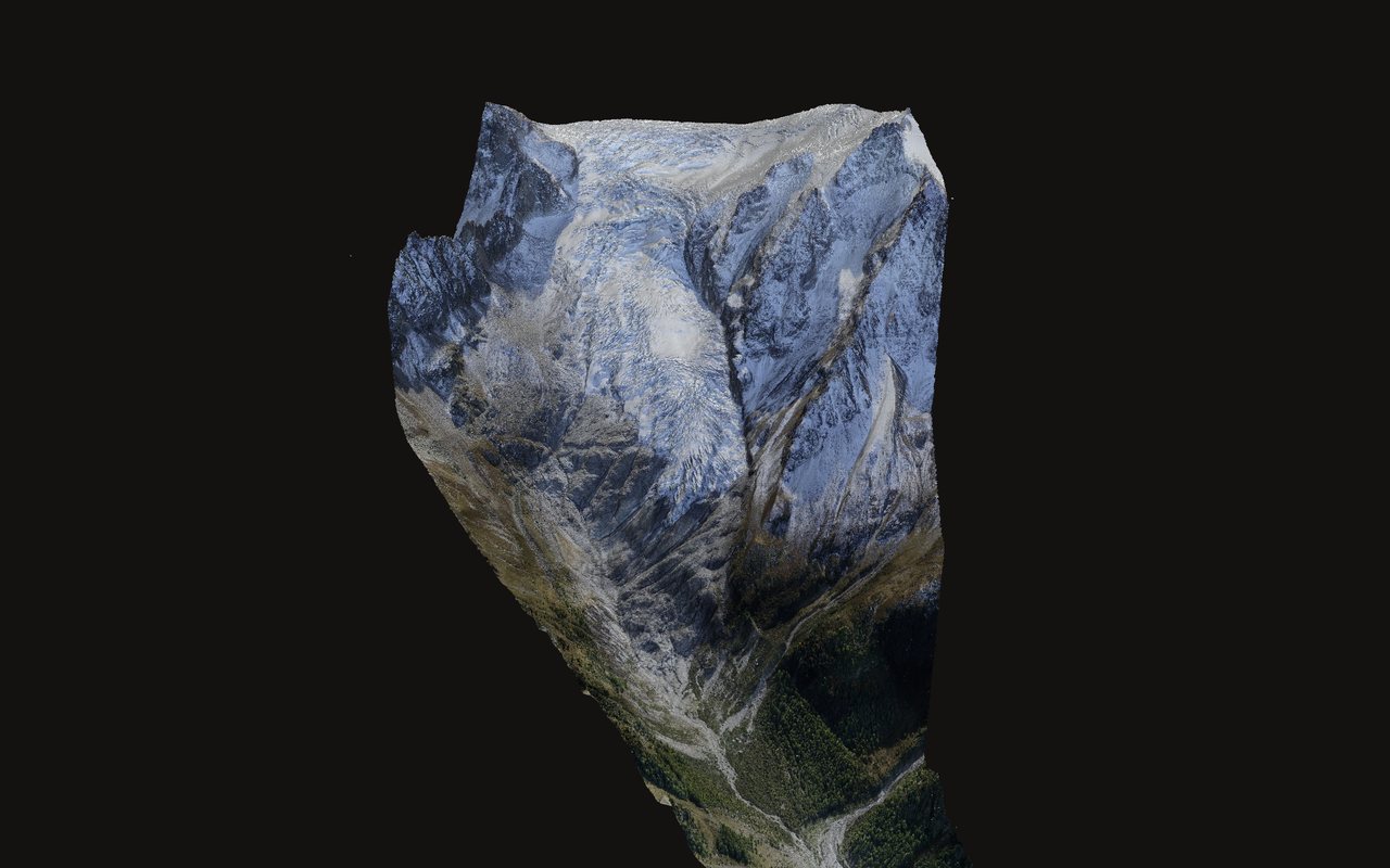
Hydro/geology – Environment

Hydro/geology
Environment

  1. Aerial photogrammetry
  2. Orthomosaics
  3. Topography
  4. GIS
  5. Change over time
Field
Hydro/geology
Environment
Location
Trient glacier (VS)
Explore the model

Similar methodsMultiple scales

Specialist services

  • Micro-⁠scanning / metrology
  • Large-⁠scale scanning
  • HD / HR photogrammetry, micro and large
  • Mesh / texture processing
  • Point cloud processing
  • GIS processing (geographic information system)

Extensions

  • 3D printing
  • Large-⁠format CNC engraving
  • Laser engraving

Contact

info@scan2map.com

+41 79 213 38 86

grammetry.com SA · 1955 Chamoson

Since 2010